Further to my recent uploading of some early 20th century photographs of Snowdown Colliery on to my Facebook page “Old Nonington” I have decided to upload some of them to this website and add a brief description of what the location of the colliery was like before work began on the site in 1907 and during the following couple of decades.I hope to show how the surrounding countryside eventually disappeared under the colliery buildings and spoil heap. The maps and photographs included in this article are to help record the colliery’s gradual expansion. This article is not intended to be a comprehensive history of Snowdown Colliery, which closed in October of 1987. There are very many other sources of information, such as the Kent Mining Museum, which more than adequately cover the subject of the colliery’s history and that of the nearby mining village of Aylesham.
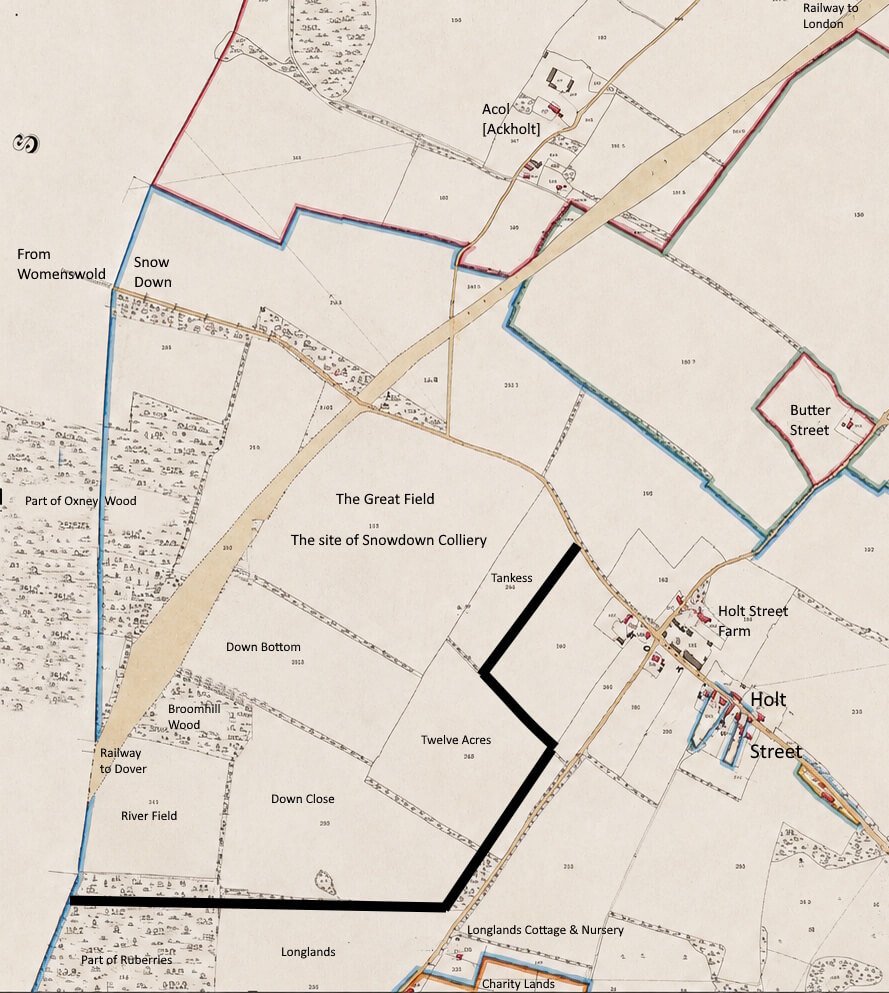
Snowdown Colliery was sunk into what was known as the “Great Field” of the Holt Street estate located in the Manor of Fredville in the old parish of Nonington which by the time work had begun on the colliery had evolved into Holt Street Farm.
The colliery and the adjoining hamlet of Snowdown built to house colliery workers took their name from the nearby Snow Down, which extends in a south-westerly direction towards Womenswold from close to the colliery site [see maps below].
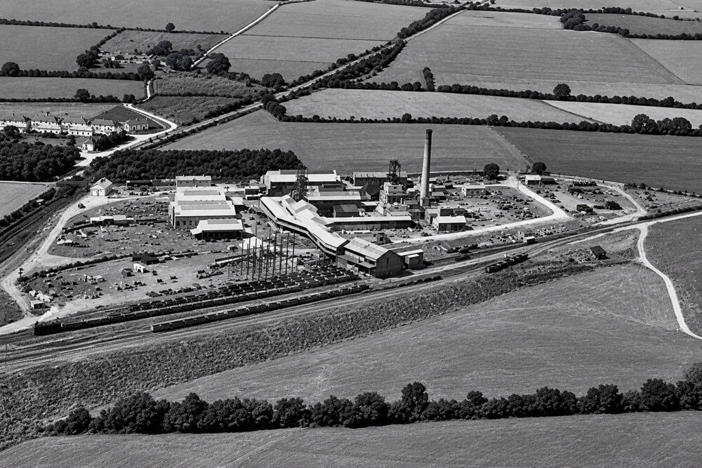
The “Great Field”, which measured some thirty-one and a half acres or so, and its neighbours to the east:Down Bottom and Close, Twelve Acres, River Field and Broomhill Wood, all gradually disappeared underneath the colliery’s buildings and ever expanding spoil heap which eventually reached as far Nightingale Lane.
Above: an unedited section of the 1797 Ordnance Survey map showing Nonington.
Below: Nonington as shown on the 1797 Ordnance Survey map after AI clean up and renaming
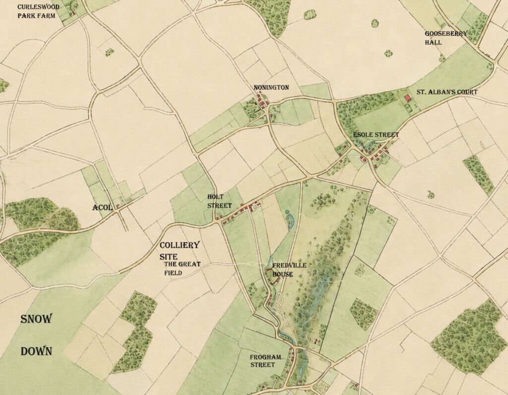
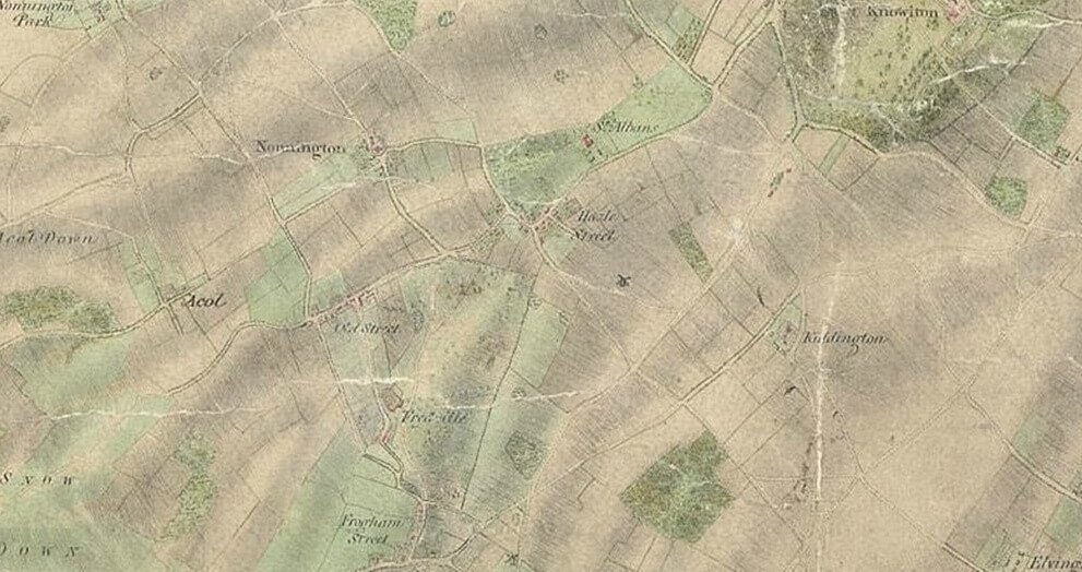
The “Great Field” on which Snowdown Colliery was sunk was shown, but not named, on the first Ordnance Survey map of the Nonington area published in 1797. This was the first properly surveyed map of Kent. The above is an AI enhancement of the relevant section of this map which retains all of its original features, but I have made some amendments to the naming as shown on the original map to avoid confusion over the location of various places.
By some cartographer’s quirk Curleswood Park Farm was shown on the original 1797 OS map as “Nonnington Park”, to my knowledge this is the only OS map on which this misnaming occurs.
The 1797 map also showed Holt Street as Old Street, and Esole Street as Hazle Street. In the old East Kent dialect, now sadly consigned to history, Holt Street would have been pronounced something like ‘Old Strit and Esole Street as “Ayzle” or “Eyezle Strit”. The surveyors obviously wrote down phonetically the names they were given by local inhabitants. At this time native born inhabitants would have used the old Kent dialect, what was to become known as Received Pronunciation was used by the upper classes and those of the burgeoning middle classes who wished to imitate their social betters to appear more cultured.
In 1859 the Nonington Parish Vestry, the precursor of the Parish Council, commissioned a survey for a map of the parish of Nonington on a scale of 25 inches to the mile to accurately record land and property within the parish for the purpose of taxation. The taxes raised were to be used for paying Nonington’s contribution to the Eastry Union. This map is known as the Poor Law Commissioners map.
Below is a section of the map which in addition to recording land and property also shows the route of the London to Dover railway line through the parish of Nonington that was not completed until 1861.
The solid black lines shows the extent of the colliery tip at the time of its closure in October of 1987
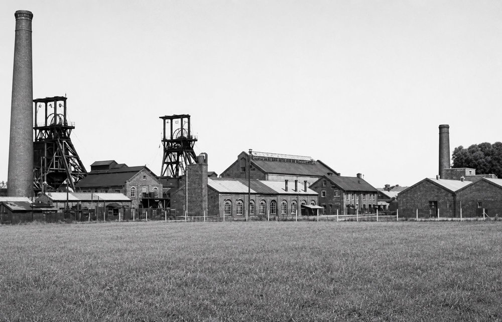
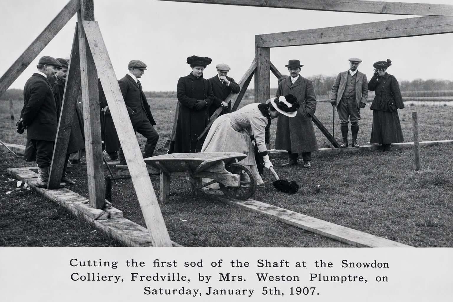
The following photographs show the early developement of Snowdown Colliery from the first spadeful of soil being dug in 1907 to just before the Second World War.
+++
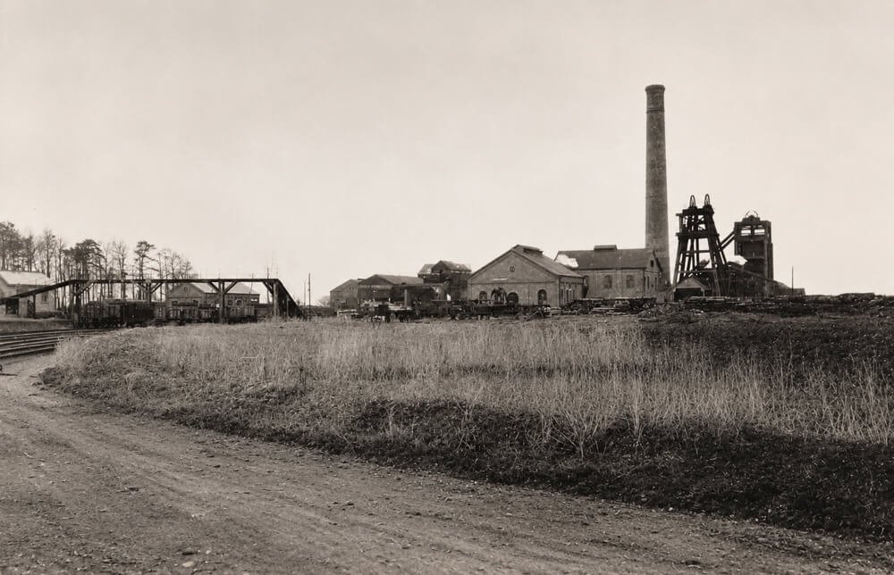
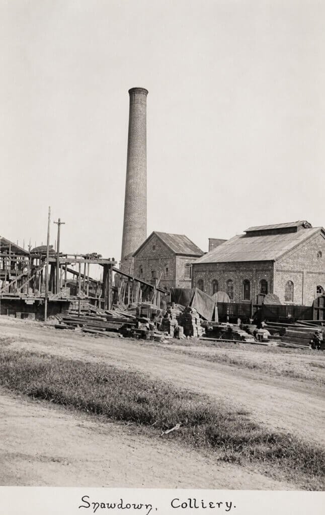
Below: From 1908-09. A view of the Snowdown Colliery workings from the road from roughly where the road up the hill from Holt Street curves round to the left. This view of the colliery workings shows the countryside towards the south. The unsurfaced road past the workings is little more than a track and goes over the railway bridge and along Snow Down towards White City and Woolege Green. The hedge running left from the sign in the right foreground marks the railway line. Snowdown and Nonington Halt had not yet been built when the picture was taken. It was built in 1914 for the use of colliery workers.
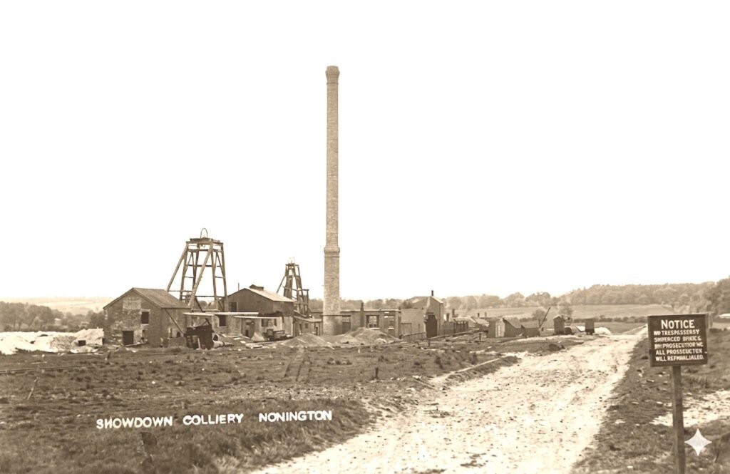
To the left of the colliery buildings is a part of the Great Field of Holt Street Farm and also [probably] Down Bottom and Broomhill Wood, which over the following years was buried beneath the colliery spoil tip [see attached map-the extent of the Holt Street Farm land covered by the tip of the tip out towards Nightingale Lane is marked in black]. The wood in the background to the right of the chimney is the still standing Coney Wood. The slightly taller trees to the right of Coney Wood ran up to the Snow Down road. This section of Coney Wood was cleared away in the 1950’s creating the present gap between Coney and the Snow Down road.
In the main, the countryside beyond the railway line is little changed from when this picture was taken
+++
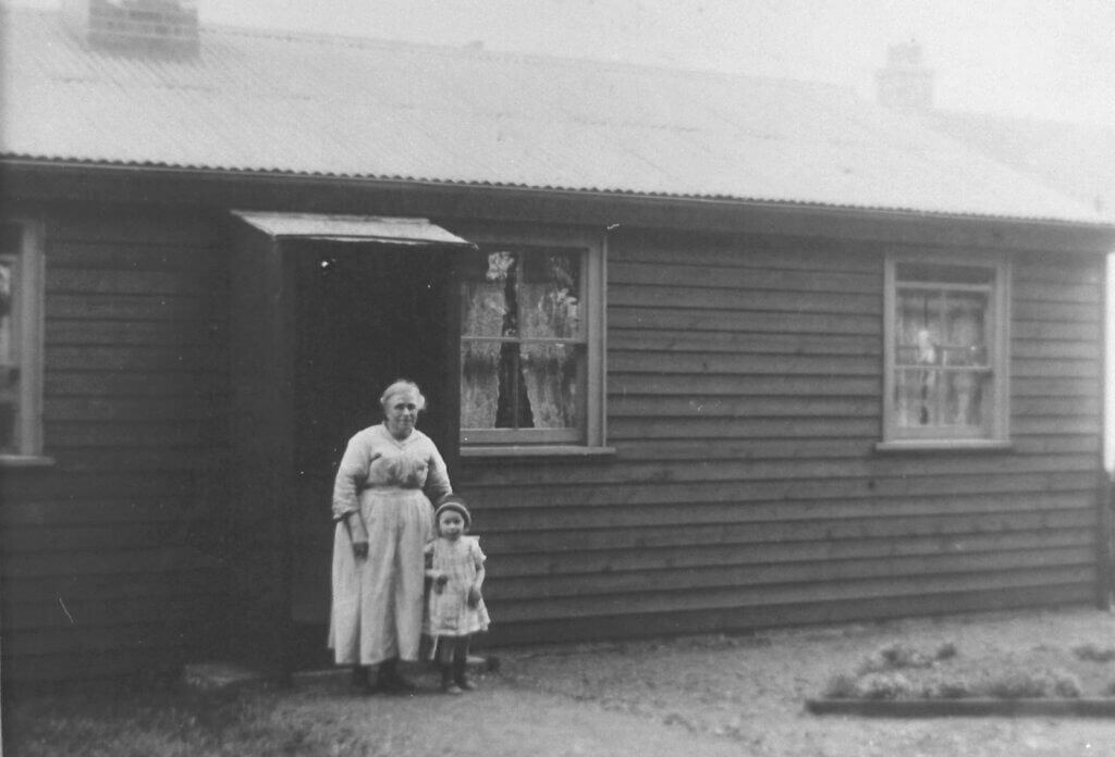
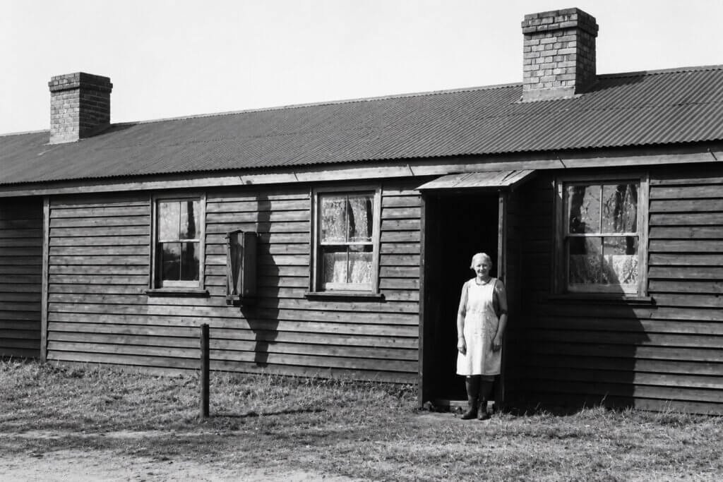
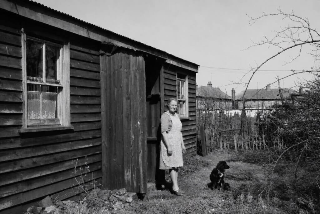
The shaft sinkers were housed in wooden huts across the railway line next to the present hamlet of Snowdown. They were in use long after the sinkers left Snowdown. My late mother’s family moved down from Nottinghamshire to work at Snowdown Colliery in the very early 1930’s. They lived in one of the sinkers cottages in the mid to late 1930’s before moving to Aylesham. The huts continued in use until the 1950’s.
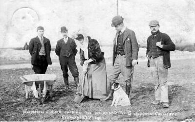
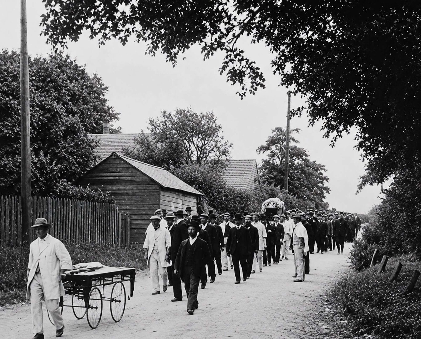
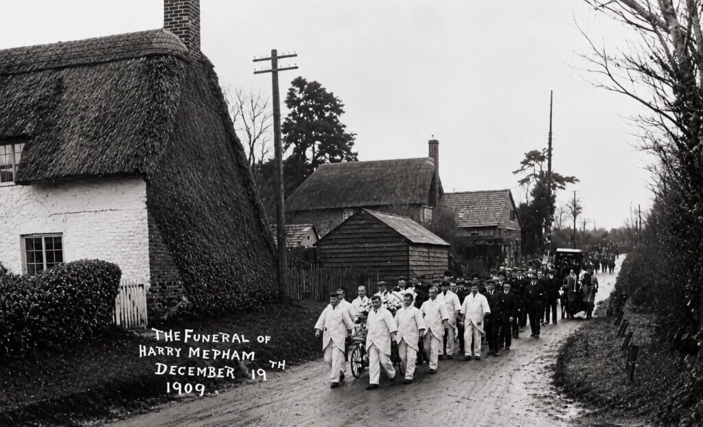
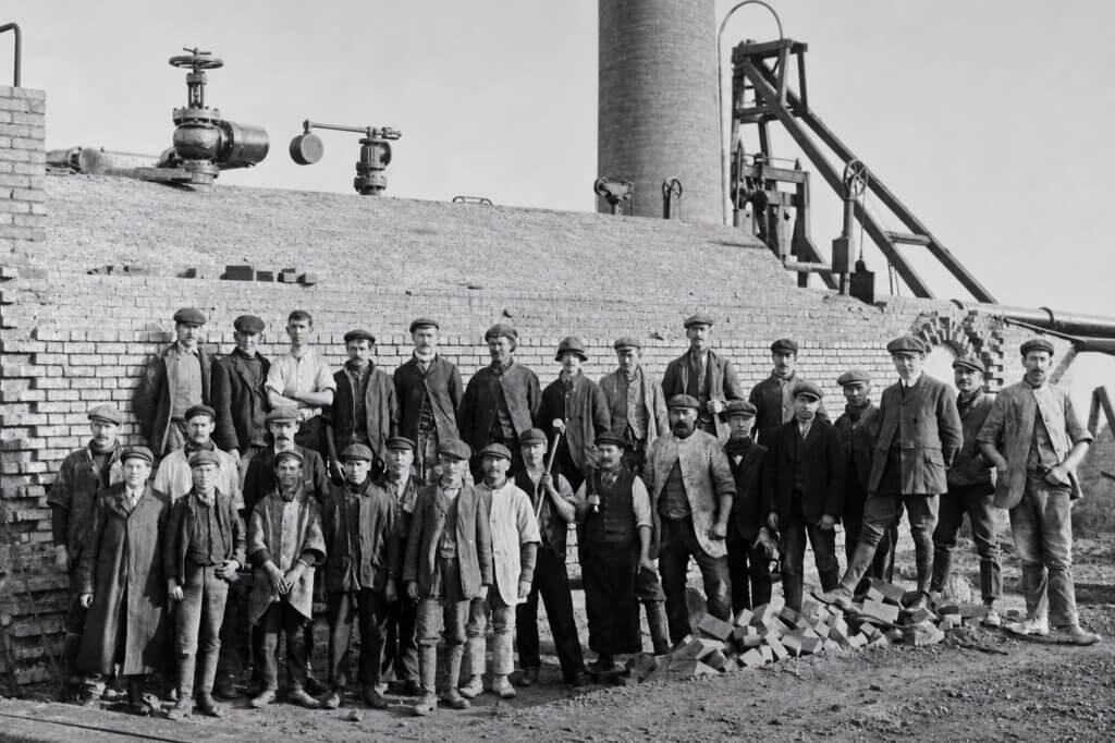
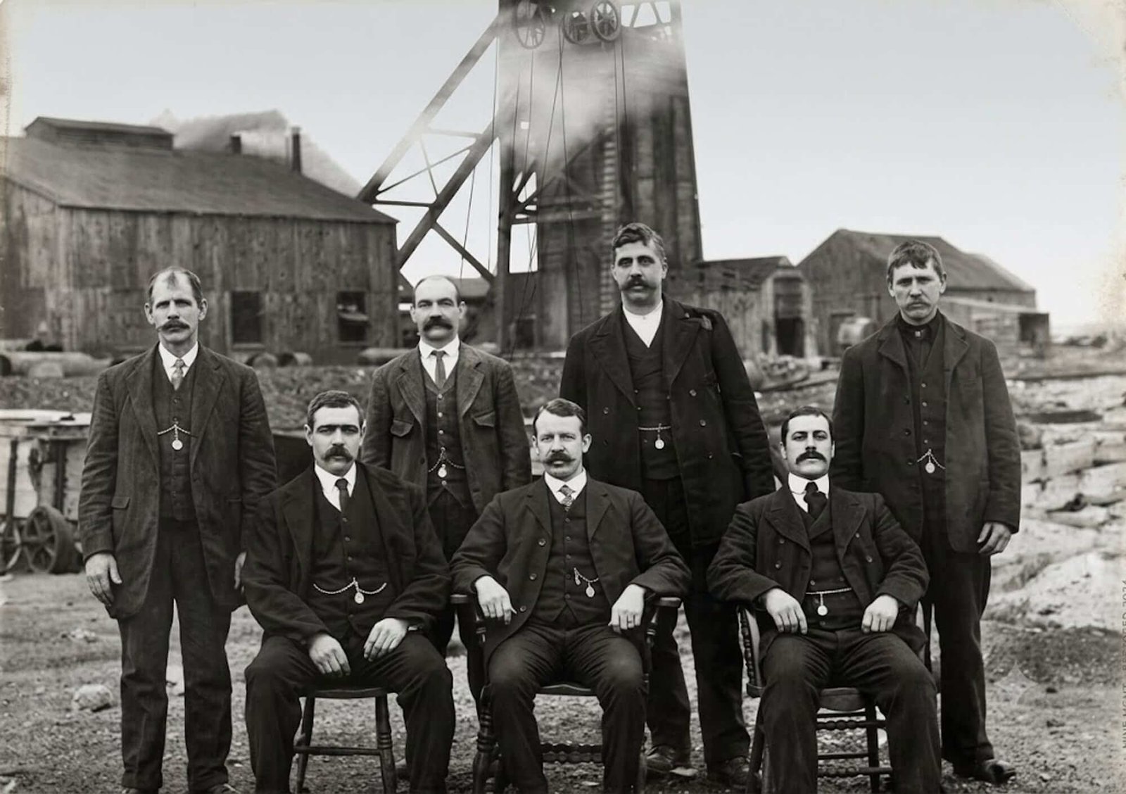
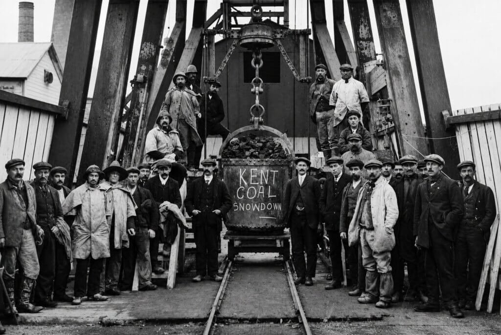
Below are photos of a 1909 funeral cortege and some very early views of the colliery.
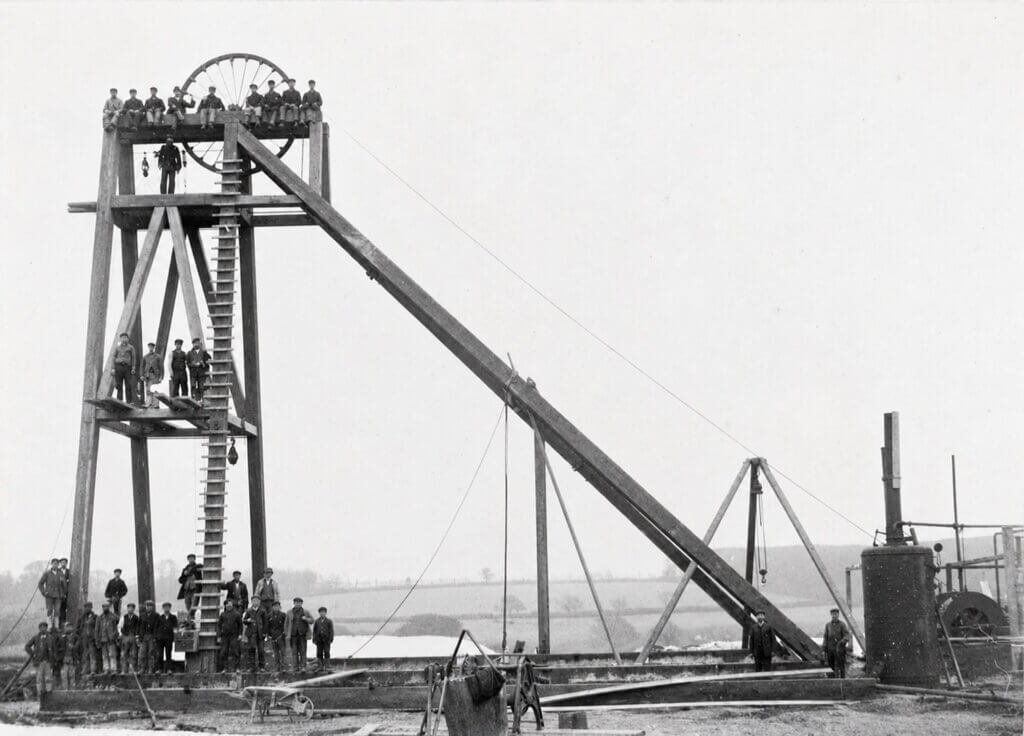
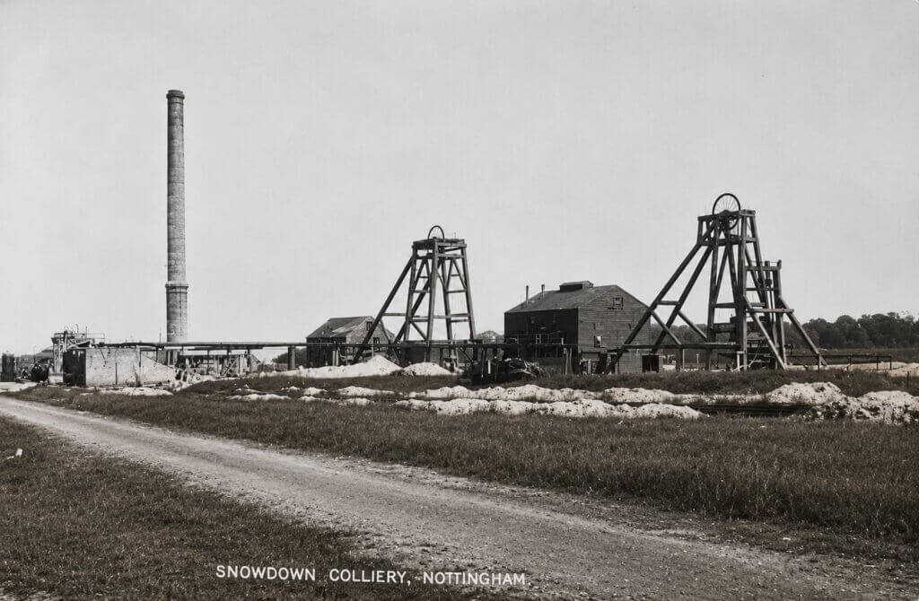
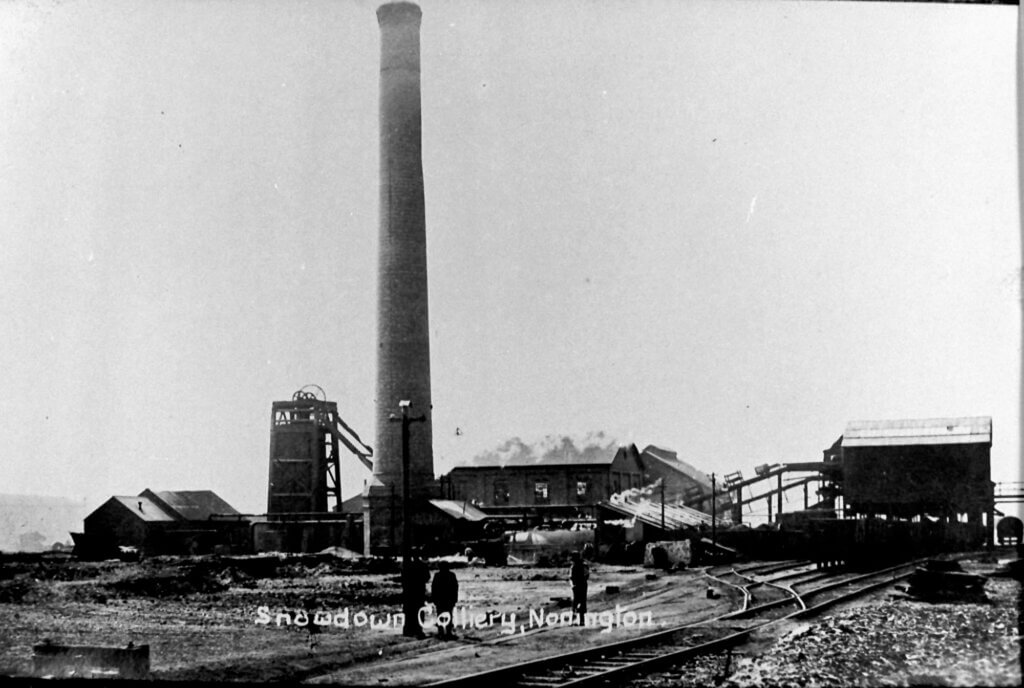
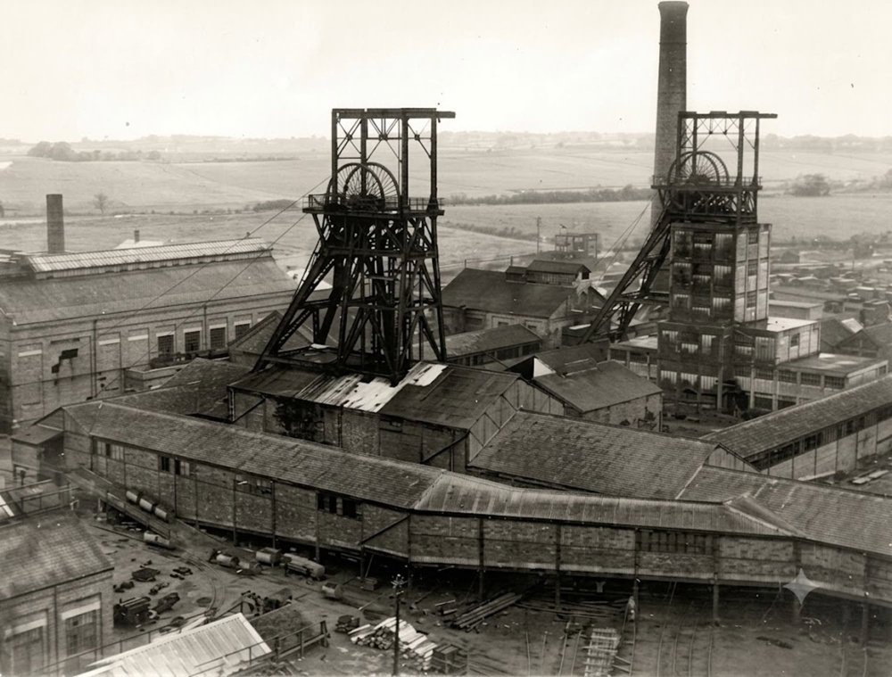
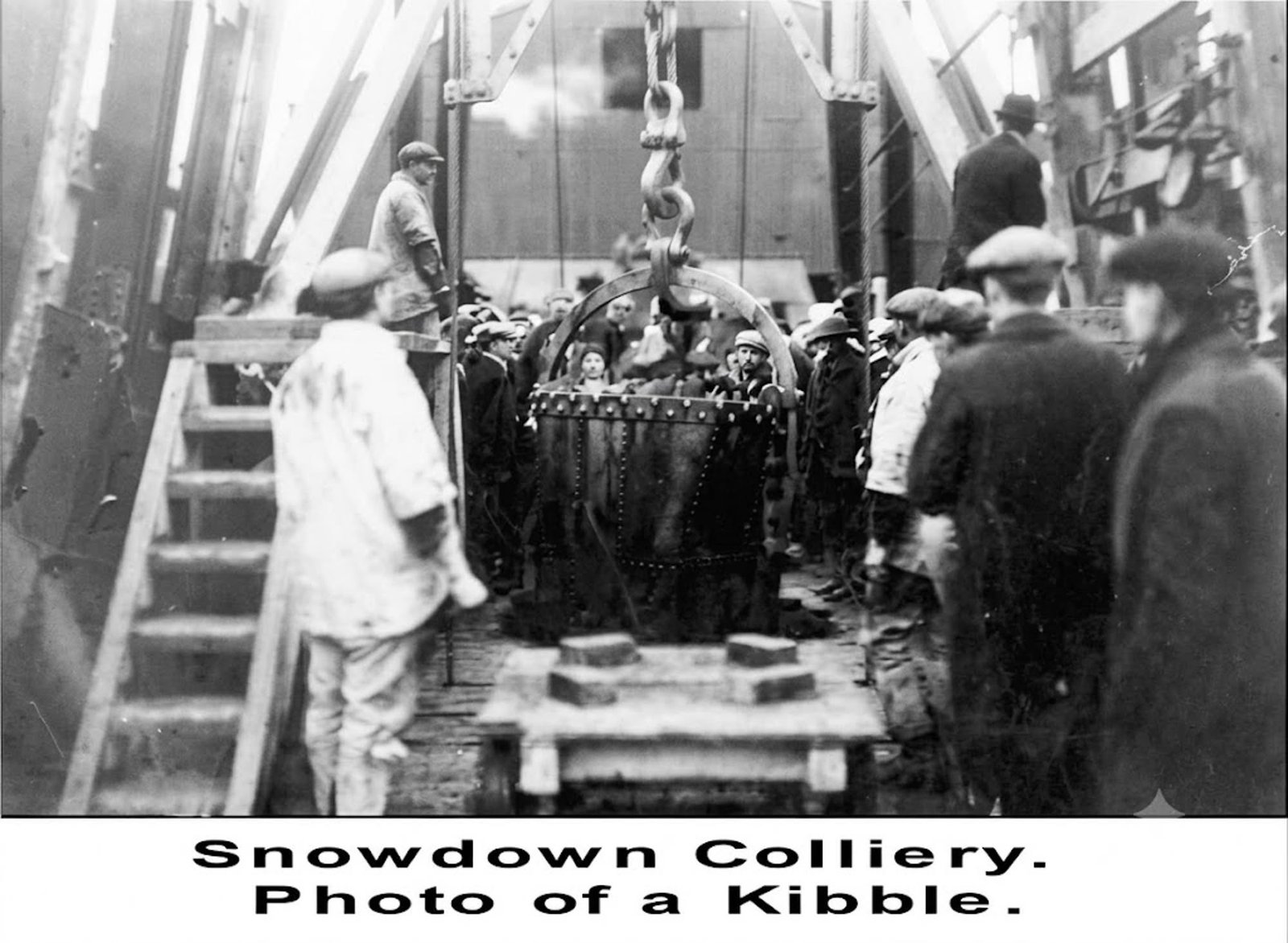
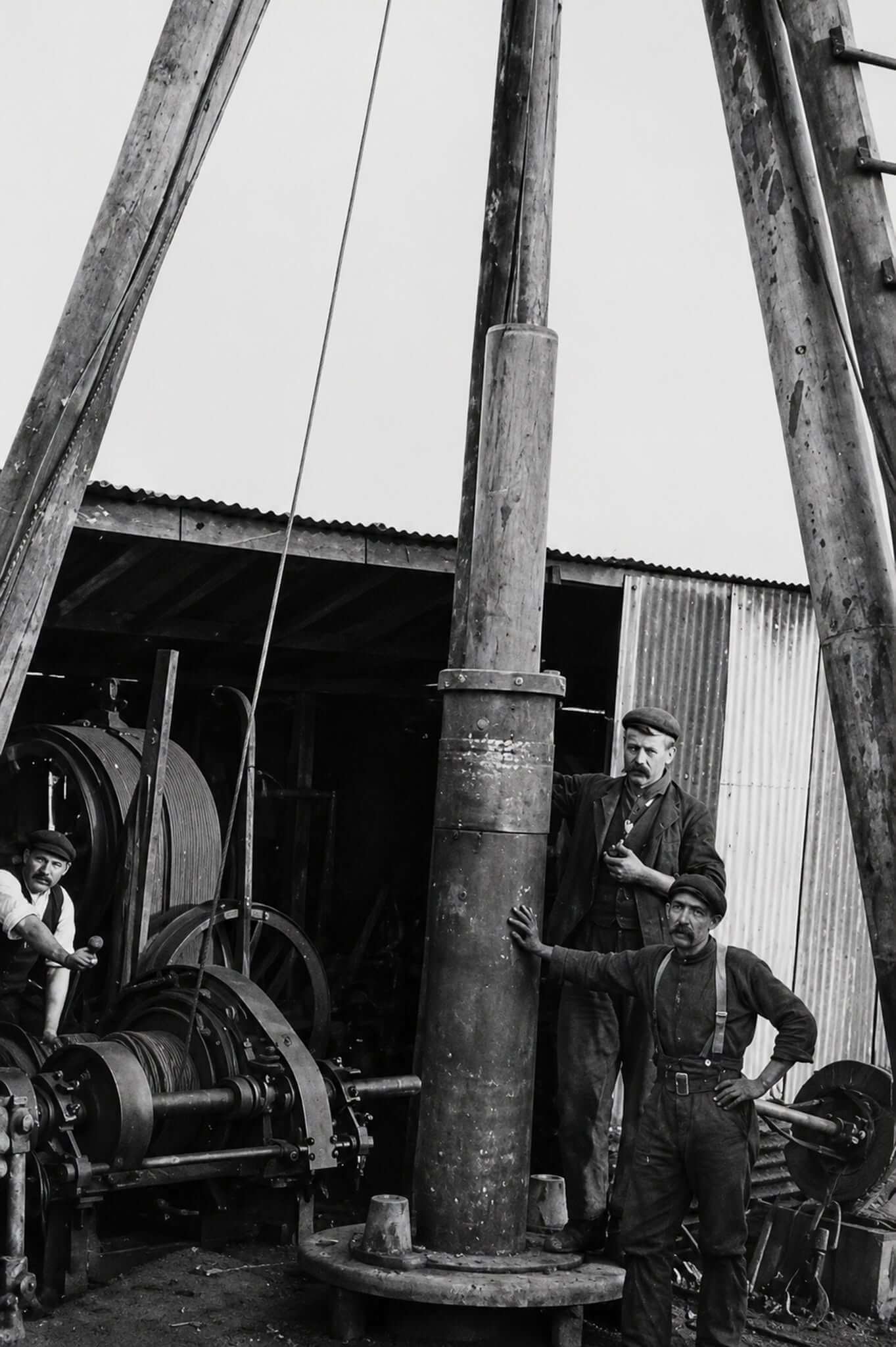
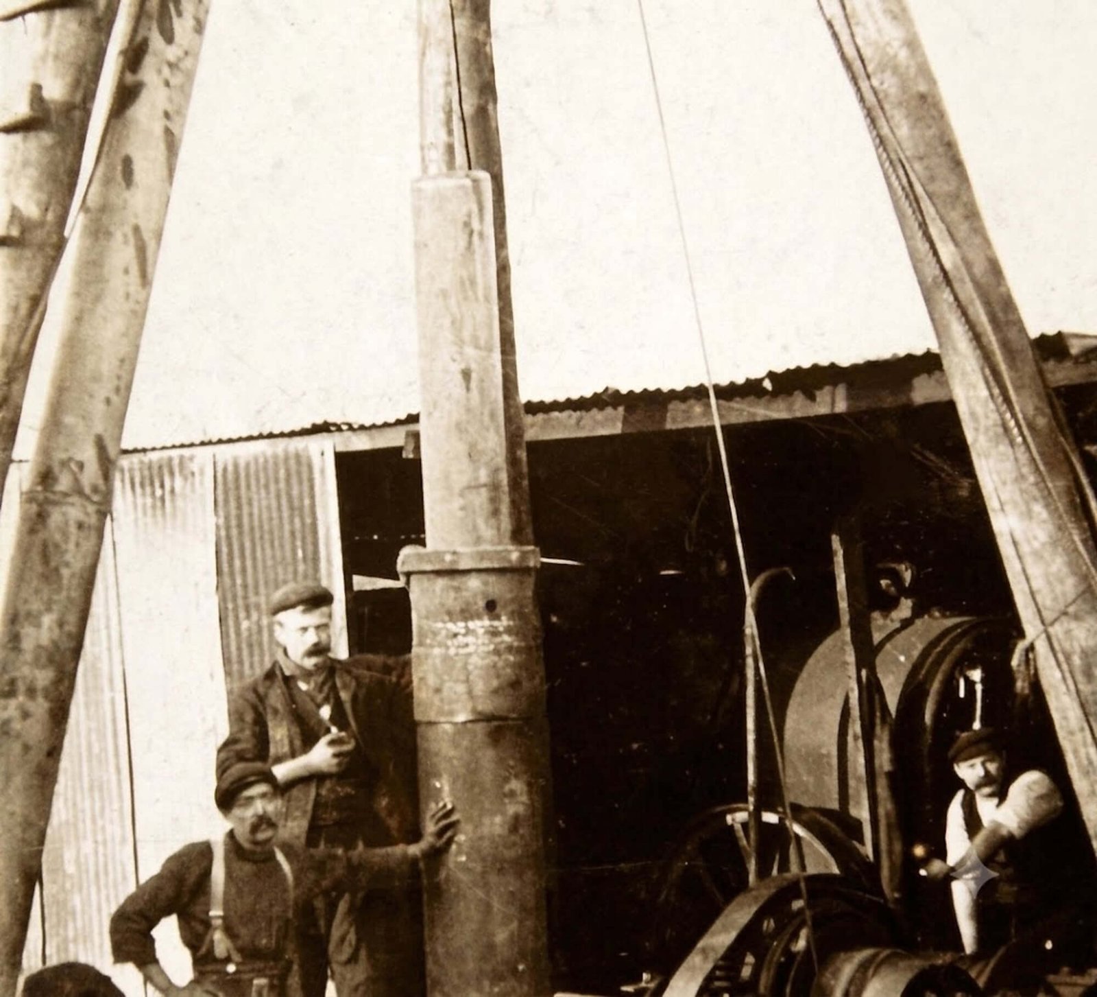
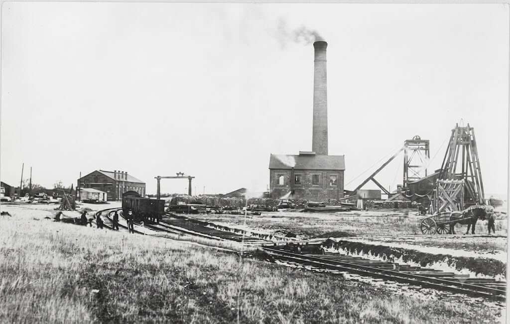
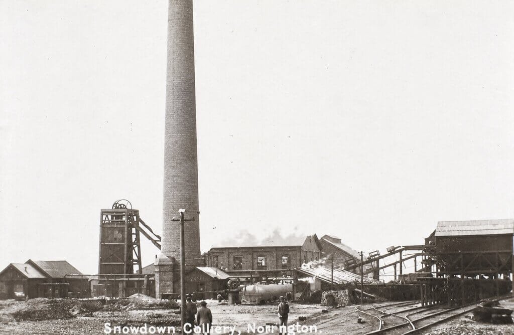
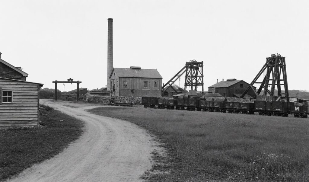
More views from the 1910’s of the colliery yard and buildings. They are not necessarily in chronological order as several are undated.

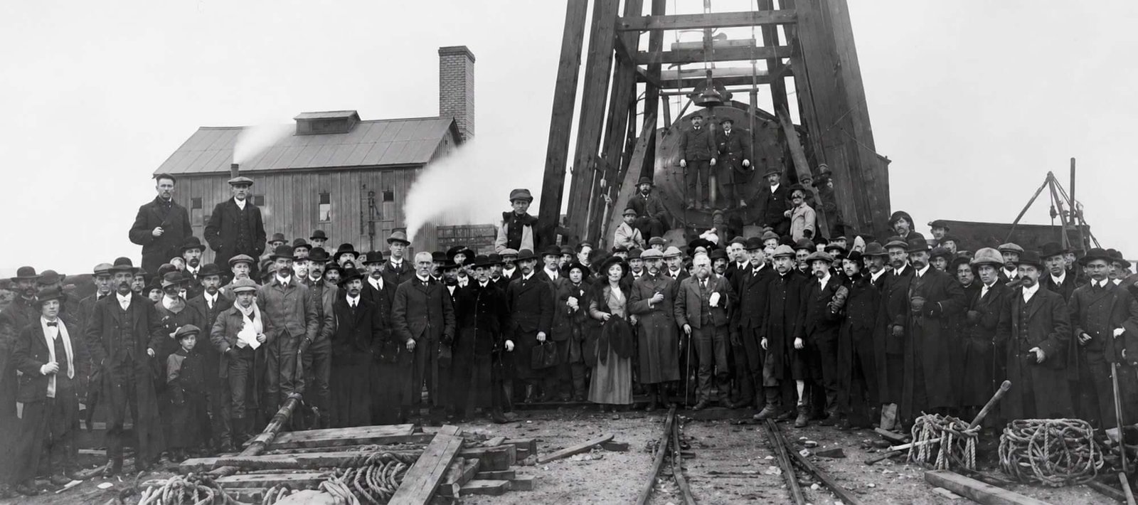
Snowdown and Nonington Halt was built in 1914 to make it easier for coal miners to get to work at Snowdown Colliery, which had begun coal production in November of 1912. The majority of miners at this time came from the Dover area and many walked to and from work at the colliery from Shepherdswell station or even from Dover itself.