Assorted Framed British County Maps: 17th century onwards
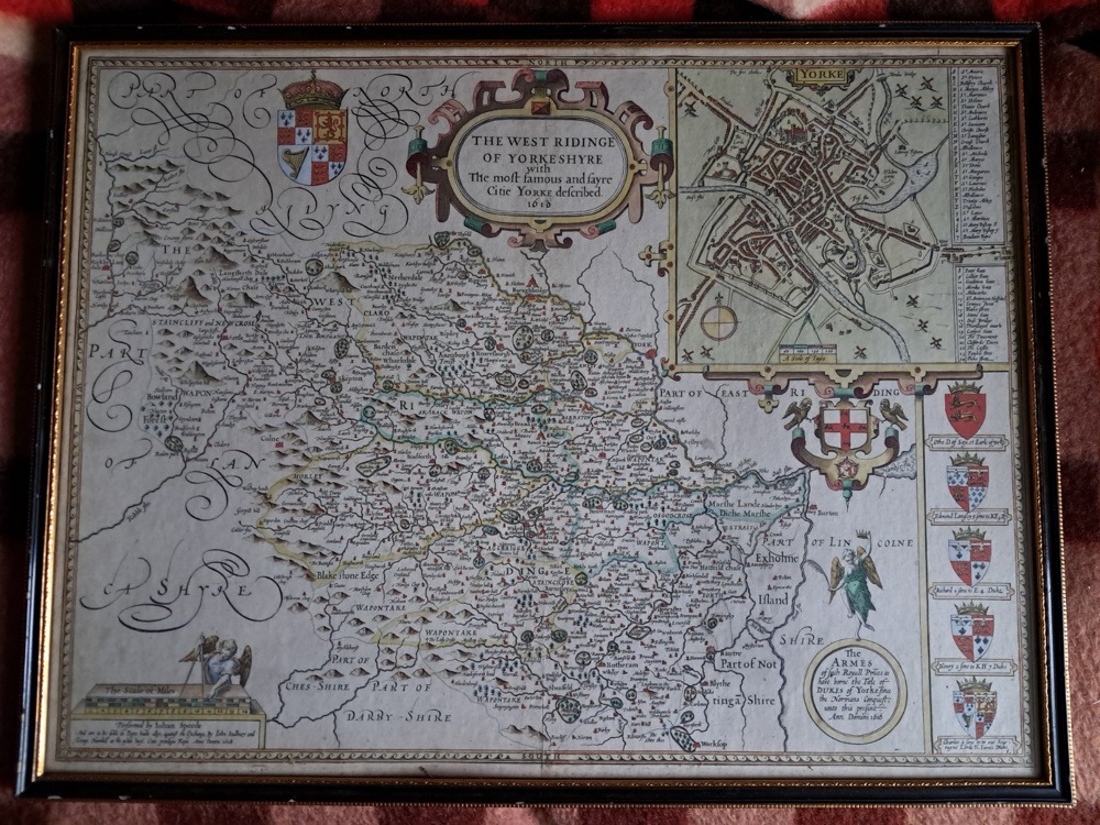
The West Riding of Yorkshire – John Speed An antique map of ‘The West Riding of Yorkshire with the most famous and fayre Citie Yorke described’. Originally from “Theatre of Great Britaine” by John Speed, published by J. Sudbury and George Humbell at the White Horse in Pope’s Head Alley, London. This copy is marked 1628 in the bottom left hand corner and is hand-coloured. The frame measures 21 ½ x 16 ½ inches and is glazed with safety glass. +++£395.00+++
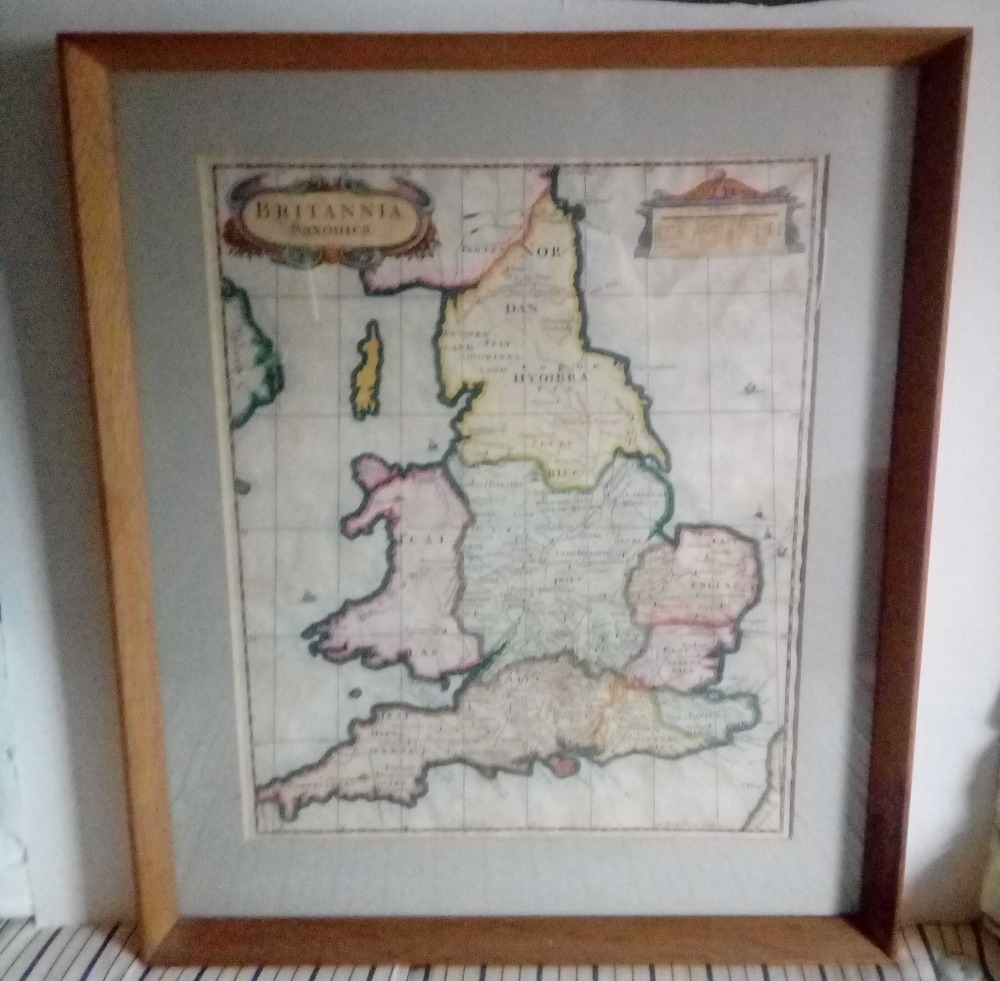
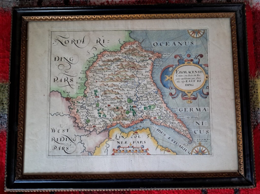
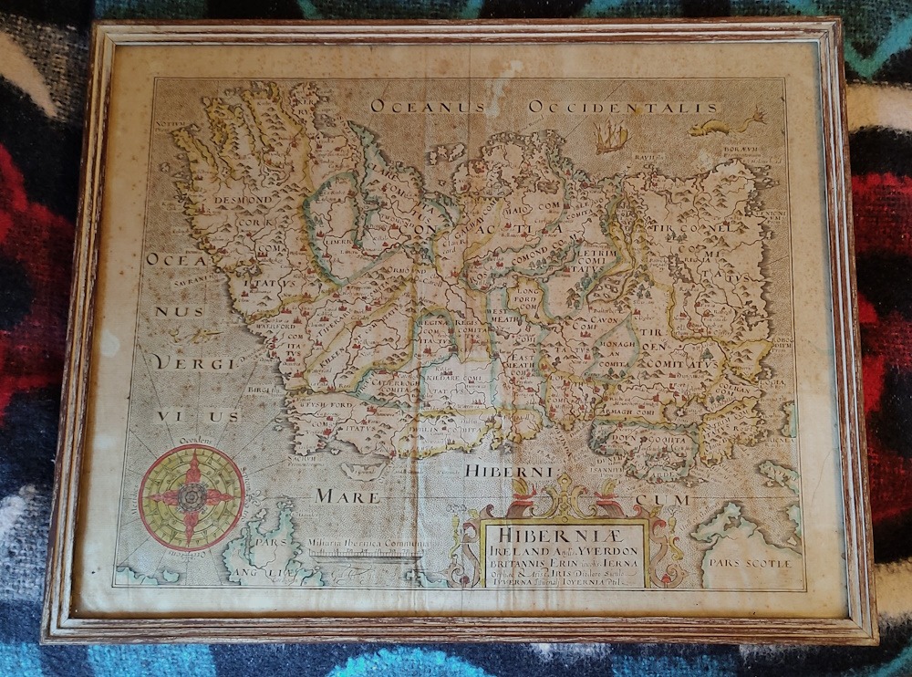
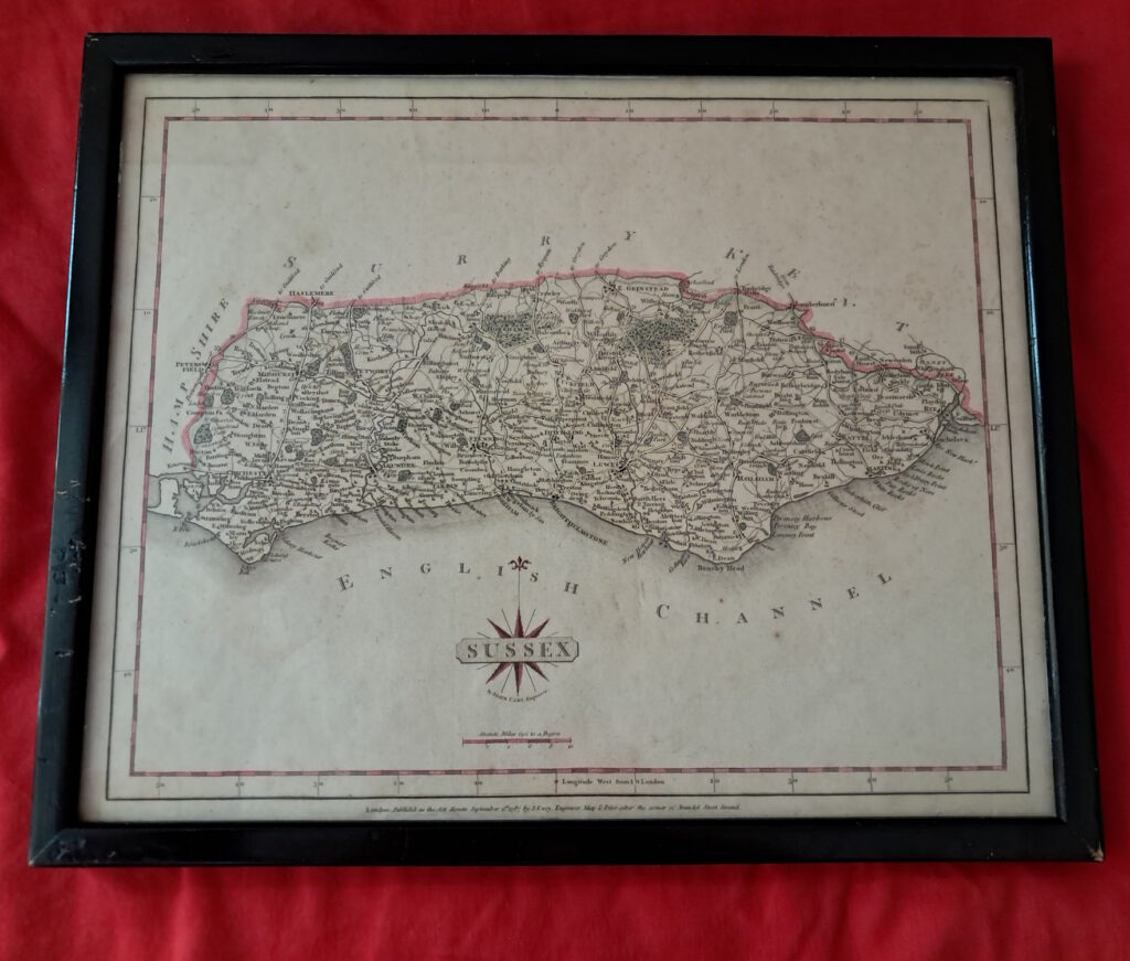
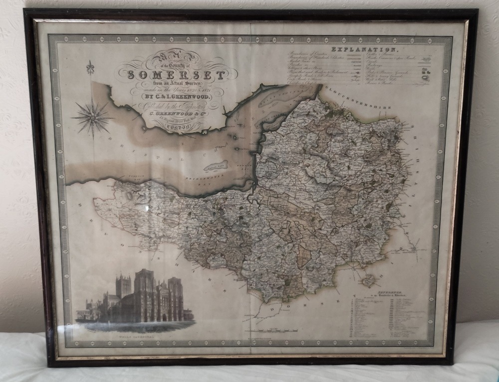
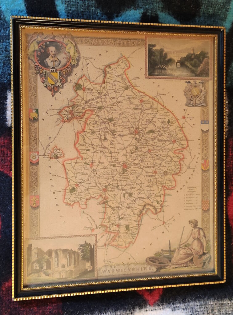
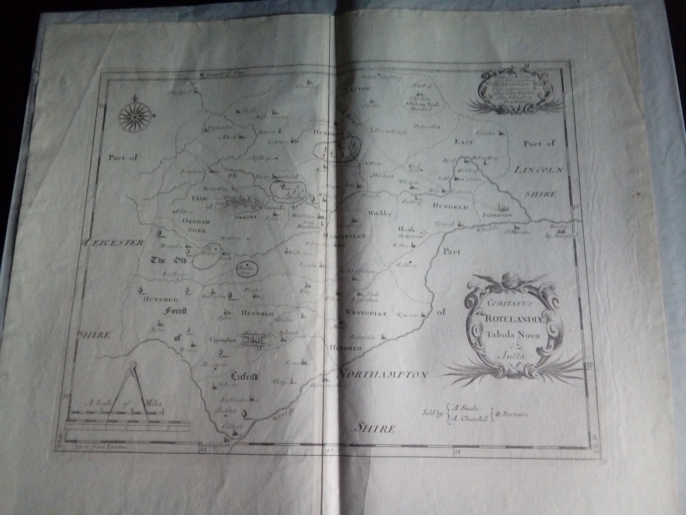
‘Rutlandshire with Oukham and Stanford her bordering Neighbour newely described’. Performed by Johan Speede, sold by Roger Rea. An original from Theatre of the Empire of Great Britain ++£250++Britannia Saxonica by Robert Morden. An original antique print from circa 1700 to 1720 ++£75++1610-37 East Riding of Yorkshire by Saxton & Hole-original framed hand coloured map. ++£135++1610-37 Hibernia [Ireland] original antique map from Camden’s “Britannia” by William Hole ++£195++ Sussex by J. Carey, 1787- framed antique map of the County of Sussex from “Cary’s New & Correct English Atlas”; Published by John Cary, London, 1787 ++£35++Somerset by C & J Greenwood-original 1830’s copper engraved hand coloured map-framed ++£75++1841 Warwickshire by Moule-framed original map-hand coloured ++£8 ++
Unframed original county maps by Robert Morden
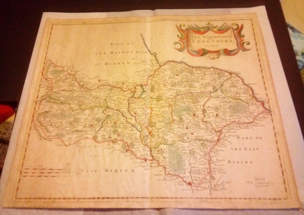
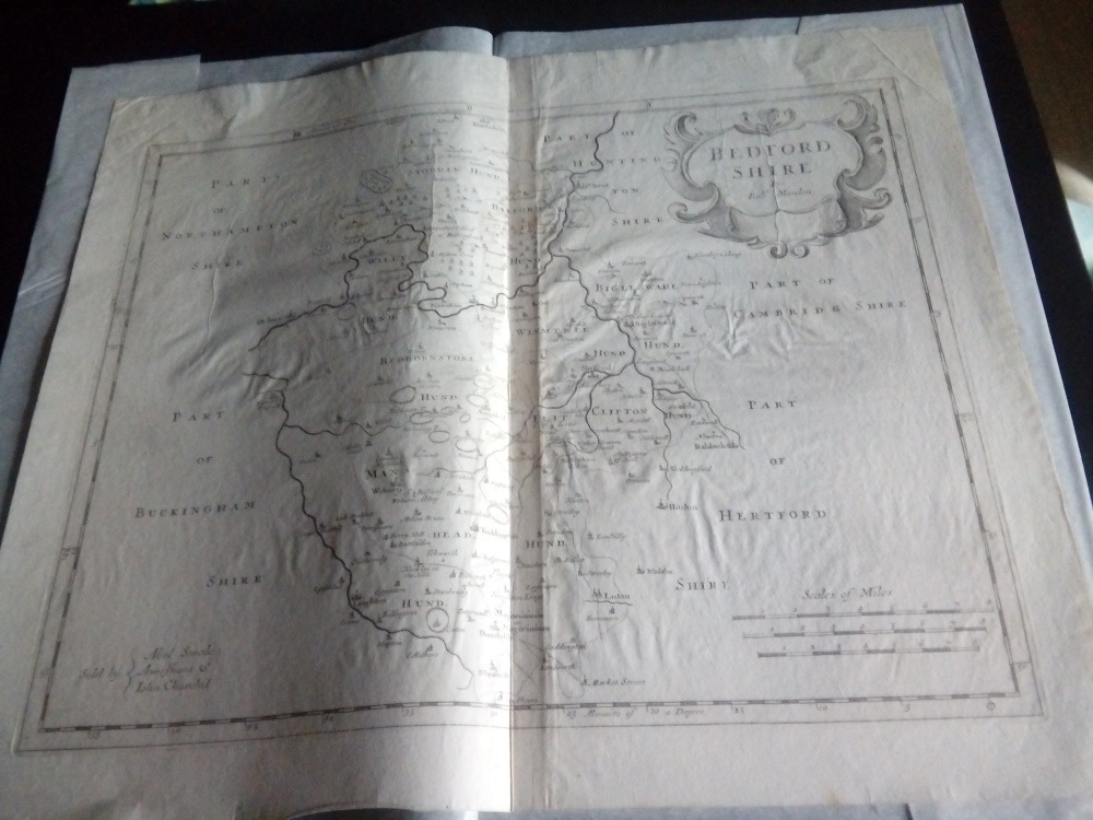
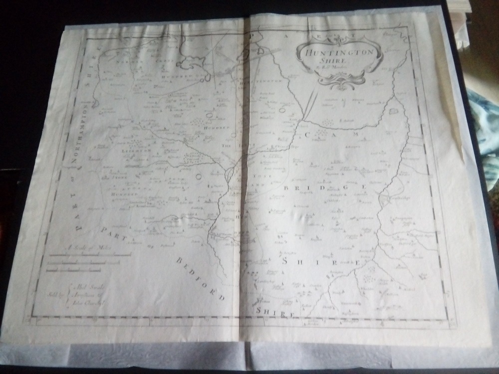
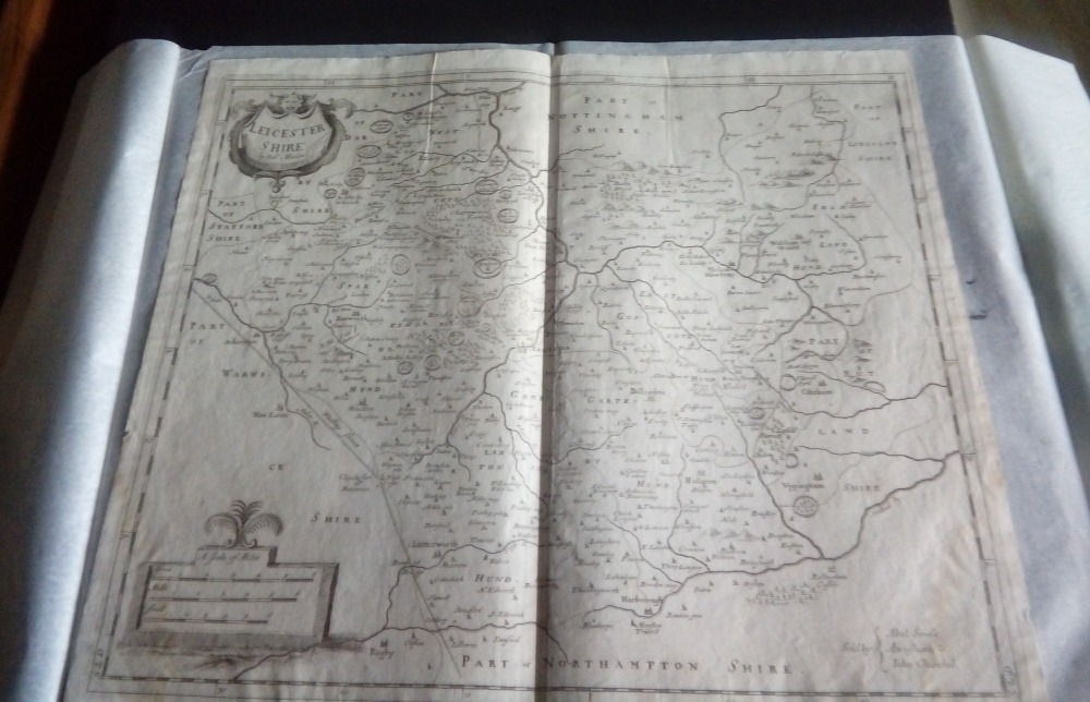
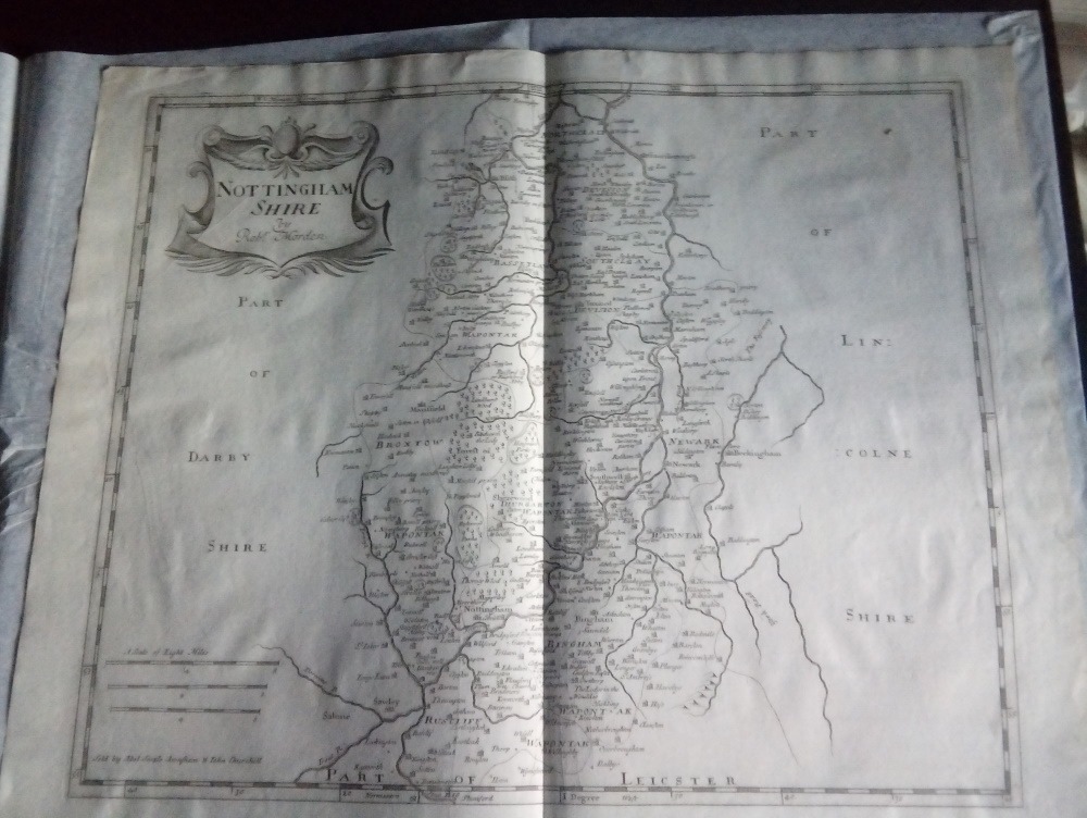
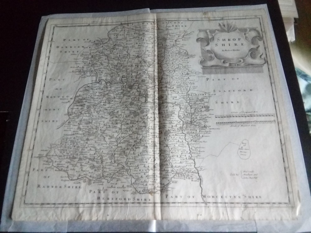
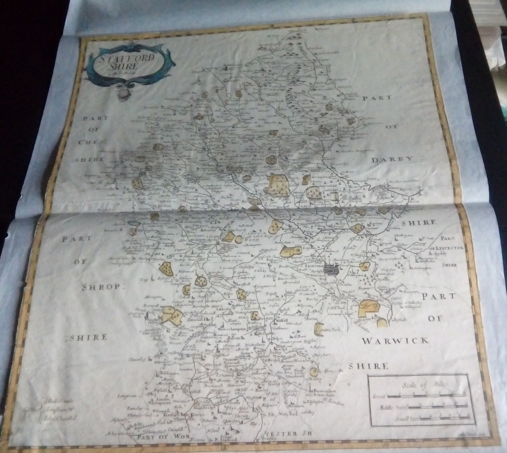
North Riding of Yorkshire by Robert Morden for Camden’s Britannia, 1695 First Edition +++ £85Staffordshire by Robert Morden for Camden’s Britannia, 1695 First Edition +++ £65Bedfordshire by Robert Morden for Camden’s Britannia, 1722. £45Huntingdonshire by Robert Morden for Camden’s Britannia, 1722. £45Leicestershire by Robert Morden for Camden’s Britannia, 1722. £45Nottinghamshire by Robert Morden for Camden’s Britannia, 1722. £45Rutland by Robert Morden for Camden’s Britannia, 1722. £45Shropshire by Robert Morden for Camden’s Britannia, 1722. £35Staffordshire by Robert Morden for Camden’s Britannia, 1722. £45
Assorted Unframed British County Maps
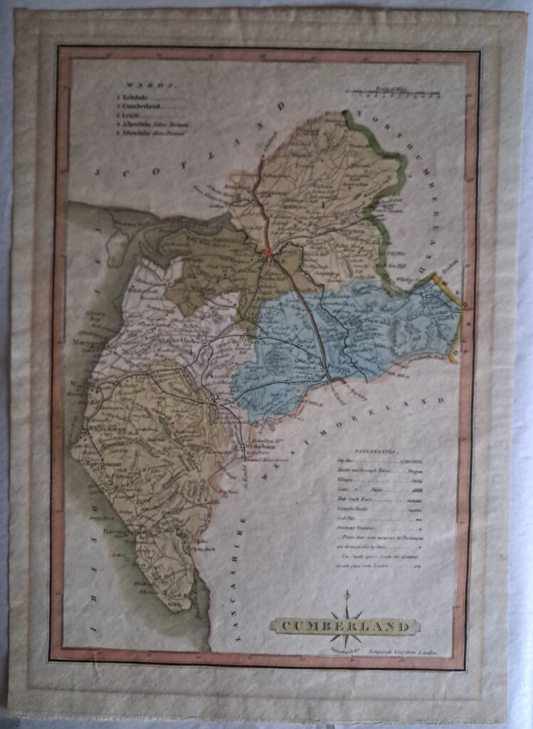
1814 Cumberland – Antique Map by J Wallis, circa 1814
An antique map of the English county of Cumberland engraved by J Wallis from “Ellis’s New and Correct Atlas of England and Wales”, published circa 1819.
Not mounted. In excellent original condition. The colours are very good. Some browning around the page margines.
Measures 11 ½ x 8 ½ inches.
++£10++
European Maps
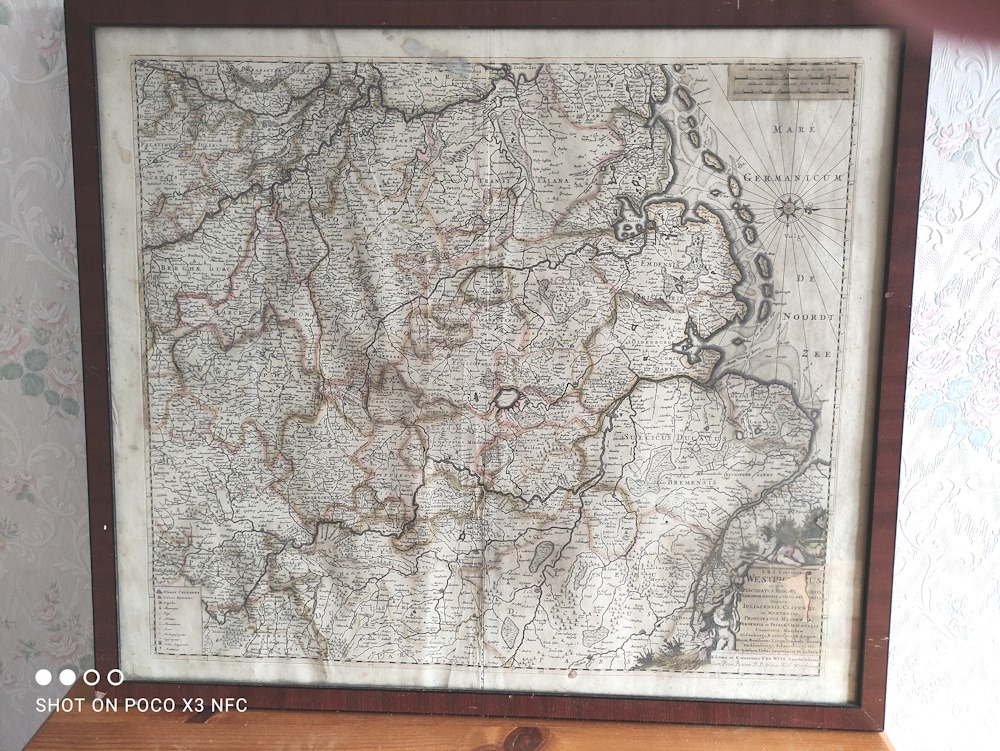
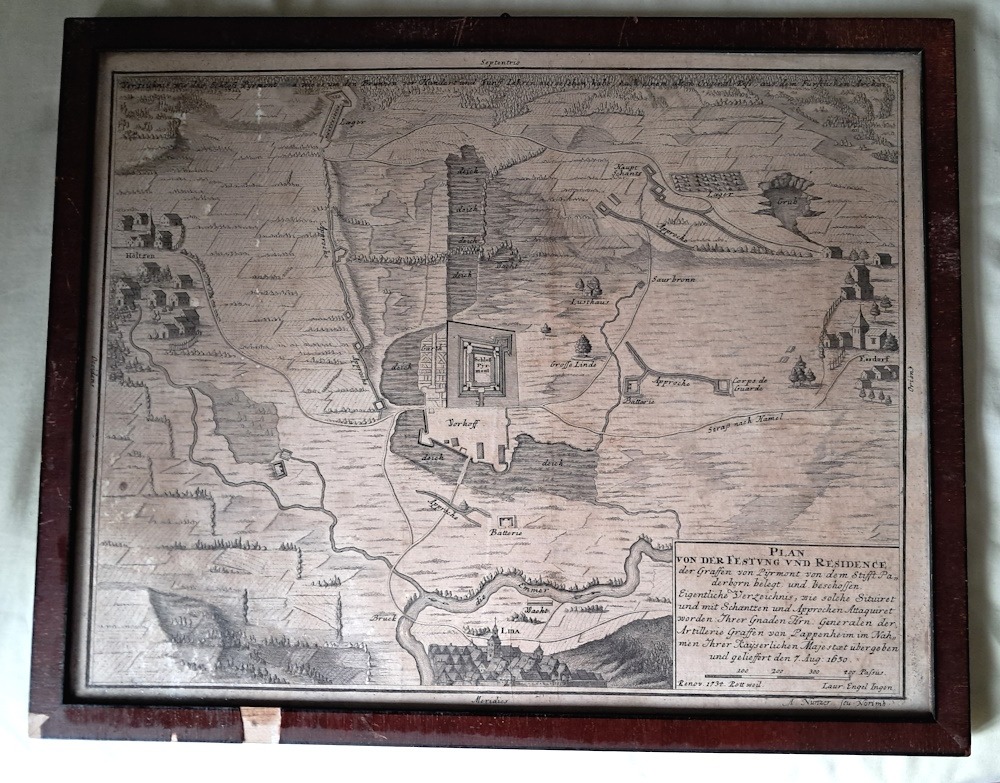
1680 Rheinland-Westfalen & Nieder Sachsen by F. De Wit. +++ An original copper engraved hand coloured map from the Composite Atlas by F. De Wit of Amsterdam, circa 1680. +++£65+++1734 print of the Pyrmont Castle siege of 1630 during The Thirty Years War-original framed print +++£20+++
You can subscribe to this website free of charge via Email
Join 419 other subscribers.
Donations to fund the publishing of The Old Parish of Nonington website
This website is self-funded. Donations to help with the costs of publishing this website will be gratefully received and can be made by Paypal to clivemwebb@gmail.com
We use cookies to ensure that we give you the best experience on our website. If you continue to use this site we will assume that you are happy with it. The site is not a commercial enterprise, it is a privately published site and is intended for enjoying and learning about the history of the Old Parish of Nonington